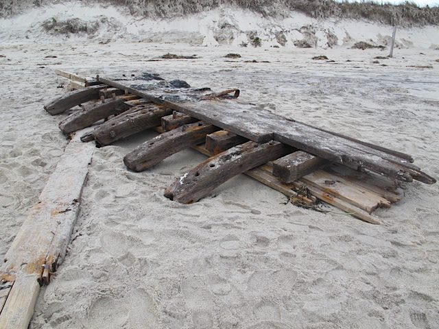
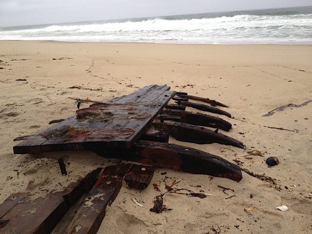
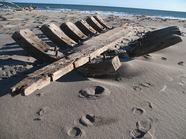
According to resident historian William Quinn, the photos below are probably of the wreck of the Montclair, which grounded and came apart in a gale off Nauset Beach on March 4, 1927. It then disappeared until reemerging from Nauset Beach in 1957, then again in November 2010, and once more in November 2011. The first photo below is from 2010; the second and third are from the current reemergence. The wreck can be seen just East of the south end of the Nauset Beach parking lot. The 2010 photo shows interior planks and keel ribs of the vessel; the two 2011 photos seem to be of exterior side planks and ribs, with metal remains of the ship’s chainplates. The wreck is slowly being buried once again but can be viewed as of Dec 31, 2011.
–Robert Cunningham
[Editor’s note] For those future generations with a shovel, its GPS coordinates are approximately 41.7858N by 69.9335W.


Leave A Comment