As the hurricane nicknamed Frankenstorm approaches, we will know more about how hard it will hit Orleans. As of Saturday, October 27, the storm looks like the bulk of it might miss Cape Cod entirely, but as usual, please remember the luck favors the prepared. As with any hurricane, make sure your house is well sealed, and you are prepared for an extended electrical outage.
The equipment that runs this website is not located on Cape Cod, so it should be up and running throughout the hurricane’s visit. We will try and update this new article with relevant information about the storm, but as power may be out in the Heights, updates may be slow to happen.
October 28, 2012 11:08 AM: Winds at 15mph, gusting to 30mph with rough seas. No rain yet.
October 28, 2012 9:11 PM: Winds at 18mph, gusting to 36mph with rough seas. Slight rain on and off. The town has emailed out an emergency bulletin on dealing with Sandy. You can find their website at http://www.town.orleans.ma.us/Pages/OrleansMA_Police/index.
October 29, 2012 8:03 AM: Winds steady at 45 mph with no rain so far this morning.
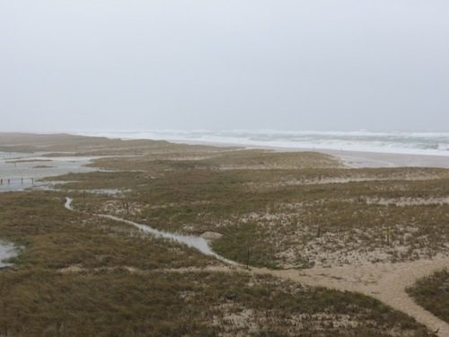
October 29, 2012 1:45 PM: Just recorded a wind gust of 61 mph on the Bluff. The Spit has been breached in the Inlet where it has happened before.
October 29, 2012 4:55 PM: Winds have died down to 38 mph from a peak of 68 mph today. There has been little rain, and there is even some sun peaking through the clouds.
October 29, 2012 5:21 PM: A large new “finger” of sand can be seen in the inlet; a result of sand deposits from a breach on the Spit.


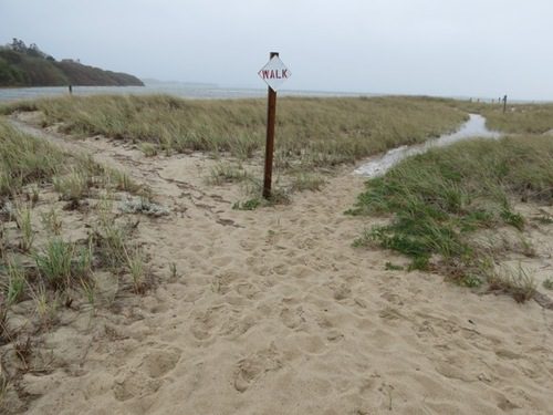
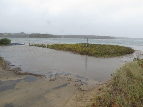
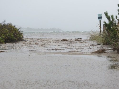
October 29, 2012 6:18 PM: Henry Dunham sent in these photos and video from around the Heights…



Leave A Comment